


Coden Community House, Mobile County, Alabama
About
Outline

Summary
| Unique Area Identifier | 522603 |
| Name | Coden Community House |
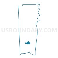
| County | Mobile County |
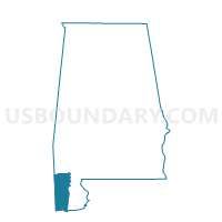
| State | Alabama |
| Area (square miles) | 14.93 |
| Land Area (square miles) | 14.78 |
| Water Area (square miles) | 0.15 |
| % of Land Area | 99.01 |
| % of Water Area | 0.99 |
| Latitude of the Internal Point | 30.38514280 |
| Longtitude of the Internal Point | -88.18411240 |
Maps

Graphs
Select a template below for downloading or customizing gragh for Coden Community House, Mobile County, Alabama


Neighbors
Neighoring Voting District (by Name) Neighboring Voting District on the Map
- Charles Haynes Lodge #627, Mobile County, AL
- Odd Fellows Hall, Mobile County, AL
- St. Michael Catholic Church, Mobile County, AL